JICA, in collaboration with the Peruvian Ministry of Culture and Futaba Corporation from Fukushima Prefecture, has successfully extracted the shapes of multiple new structures from beneath the dense jungle surrounding the Machu Picchu ruins using advanced Japanese 3D surveying technology (UAV-LiDAR). This achievement marks a groundbreaking initiative that enables the identification of ruins in unexplored areas without the need for deforestation, representing a significant step forward in JICA's cooperation towards enhancing cultural heritage preservation and improving tourism safety. This survey is part of a JICA project that utilizes Japanese technology and expertise to address Peru's national challenges of advancing cultural heritage preservation while balancing it with tourism.
During this survey, the overall structure of the 'Andenes Orientales,' a large group of terraces located northeast of the Machu Picchu ruins, which had been difficult to discern due to dense vegetation, was grasped for the first time. Furthermore, in an unexplored area north of the ruins near the Temple of the Moon, multiple potential characteristic structures were newly identified, including an L-shaped wall-like structure (approximately 2.7m high), three tiers of symmetrically arranged terraces, and rectangular stones that may have been processed. These discoveries were made possible by removing forest data from the high-density point cloud data acquired by UAV-LiDAR, allowing for the non-destructive extraction of the ground surface topography.
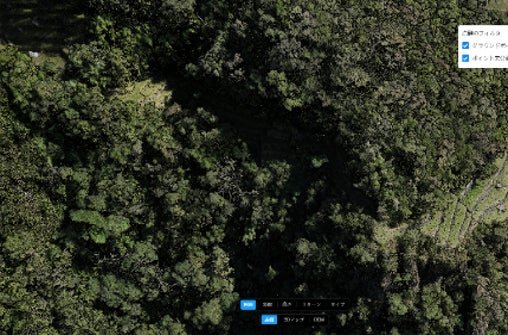
Terraces of Andenes Orientales: The ruins of Andenes Orientales, spreading across the northern to eastern base of the Machu Picchu site. In the photograph, terraces covered by trees were not discernible. By creating a point cloud and removing unnecessary data such as trees, the scale of the entire terrace complex and its connection to adjacent terraces were confirmed.
FACT BOX
- Source: PR TIMES
- Category: News