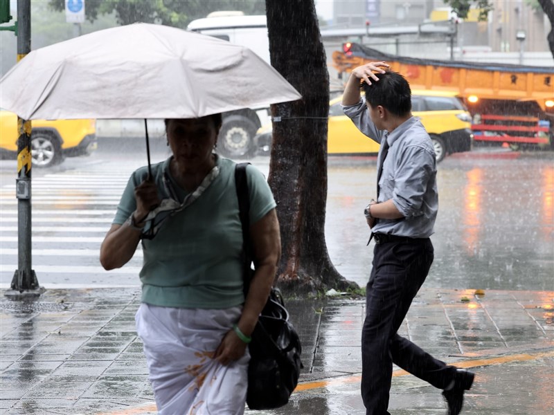
(Central News Agency reporter Zhang Xiongfeng, Taipei, 8th) The Central Weather Administration (CWA) stated today that due to the influence of a stationary front and southwesterly flow, the most significant rainfall is expected on the 9th and 10th. The forecast for accumulated rainfall over the next 24 hours is highest in the mountainous areas of Kaohsiung and Pingtung, reaching up to 450mm. Similarly, the total rainfall forecast for the next three days is also highest in the same mountainous areas, reaching up to 700mm.
In response to the '0608 Stationary Front and Southwesterly Flow Heavy Rain Event,' the CWA under the Ministry of Transportation and Communications initiated 'Enhanced Operations for Large-Scale or Severe Heavy Rain Events' this afternoon.
CWA forecaster Li Mengxuan stated at an evening press conference that heavy rain is possible across Taiwan, including Matsu and Penghu, from tonight through tomorrow. Particularly in areas south of Miaoli and the mountainous regions of Taitung, localized torrential rain is possible. Special warnings are issued for the mountainous areas of Kaohsiung City and Pingtung County, where localized extremely heavy rain or torrential rain (accumulated rainfall of 350mm or more within 24 hours) is expected.
Li pointed out that from tonight to early tomorrow morning, northern Taiwan should be cautious of short-duration heavy rainfall. In central and southern regions, due to the southwesterly flow, intermittent rain is expected on the windward side, with the most significant accumulation in the southern mountainous areas.
Li mentioned that during the daytime tomorrow, the front will gradually move to central Taiwan, potentially triggering mesoscale convective systems that bring short-duration heavy rainfall. Under the influence of the southwesterly flow, prolonged rainfall accumulation is expected in the southern mountainous areas.
Li said that from tomorrow night to the early morning of the 10th, the front will largely remain over central Taiwan. Combined with the southwesterly flow, the southern mountainous areas will remain the primary rainfall zone. After the daytime of the 10th, the front will gradually move southward to the sea south of Taiwan, but short-duration heavy rainfall will still accompany the frontal passage.
According to the CWA's latest 24-hour rainfall forecast (from 8 PM tonight to 8 PM tomorrow), the highest rainfall in lowland areas is expected in Kaohsiung and Pingtung, with 150-300mm, followed by Chiayi County, Tainan, and the Hengchun Peninsula with 150-250mm.
In mountainous areas, Kaohsiung and Pingtung are forecast to receive 300-450mm, Chiayi County 200-340mm, Taichung, Nantou, and Tainan 150-300mm, and Miaoli, Yunlin, and Taitung 150-250mm.
Furthermore, the total rainfall forecast for the three-day period from 00:00 today to 12:00 AM on the 10th shows that in lowland areas, Kaohsiung and Pingtung will again have the highest totals, at 350-500mm. The Hengchun Peninsula is forecast 200-400mm; New Taipei City, Nantou, Yunlin, Chiayi County, and Tainan are forecast 200-350mm; and Taichung, Changhua, and Chiayi City are forecast 150-300mm.
For the three-day total in mountainous areas, Kaohsiung and Pingtung are forecast 500-700mm, Chiayi County 400-600mm, Nantou and Tainan 350-500mm, New Taipei City, Miaoli, Taichung, Yunlin, and Taitung 200-400mm, and Hualien 200-350mm. (Editor: Guan Zhongwei) 1150608
FACT BOX
- Source: CNA (Central News Agency)
- Category: Taiwan
- Dates in source: 0608